Austria-Hungary Hapsburg Empire c. 1830's Brue large detailed map hand color
Brian DiMambro- Antiquarian Books, Maps & Prints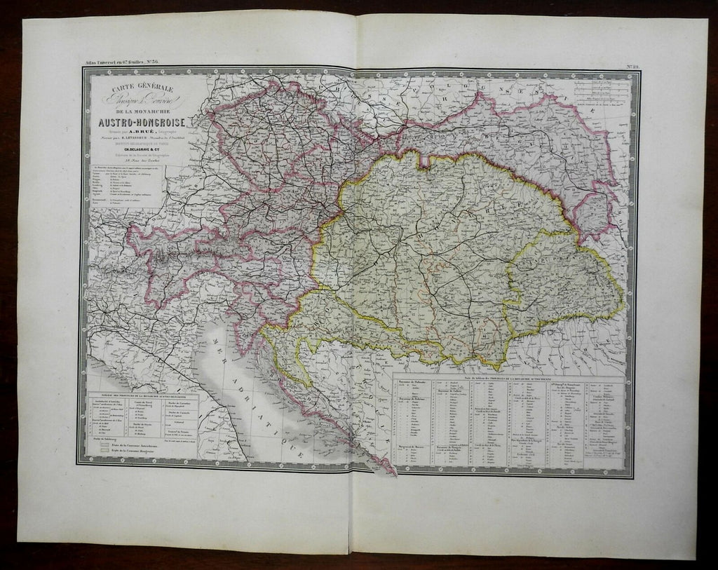
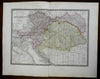
Carte General de la Monarchie Austro-Hongroise.
(Europe, Austria-Hungary, Hapsburg Empire, Croatia, Dalmatia, Vienna, Budapest, Pressburg, Danube River).
Issued c. 1830-36, Paris by A. Brue. [Delagrave].
Lovely and uncommon early 19th century folio sheet antique map. Engraved with original hand color, piano key border.
Longitude given from Paris.
Overall clean and attractive example, short split in bottom blank margin closed with archival tape.
Original fold line as issued.
Sheet measures c. 19" x 24 1/2"
Engraved area measures c. 14" x 20"
[R24648]
Tooley's Dictionary of Mapmakers, v. 1, p. 199.