Balkans Moldavia Rumilia Bulgaria Turkey in Europe 1850's Lowry detailed old map
Brian DiMambro- Antiquarian Books, Maps & Prints
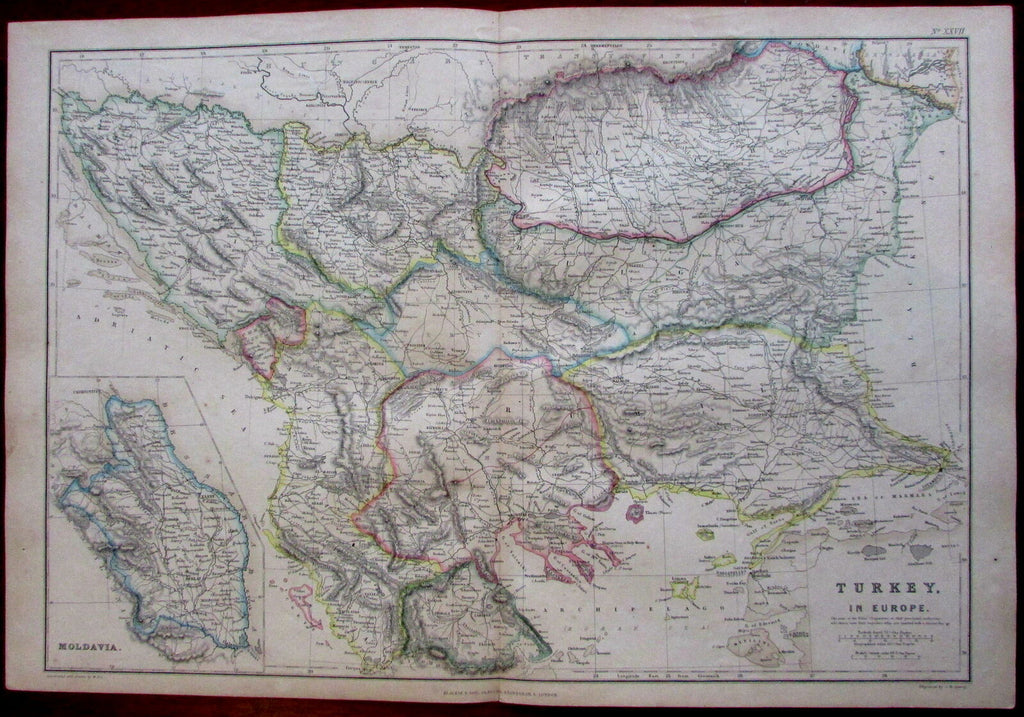
![Balkans Moldavia Rumilia Bulgaria Turkey in Europe 1850's Lowry detailed old map](http://briandimambro.com/cdn/shop/products/57_e9adc719-39ab-425e-b3f8-891a1b7e405f_1024x1024.jpg?v=1581548872)
![Balkans Moldavia Rumilia Bulgaria Turkey in Europe 1850's Lowry detailed old map](http://briandimambro.com/cdn/shop/products/57_e9adc719-39ab-425e-b3f8-891a1b7e405f_small.jpg?v=1581548872)
![Balkans Moldavia Rumilia Bulgaria Turkey in Europe 1850's Lowry detailed old map](http://briandimambro.com/cdn/shop/products/57_e5013e09-c305-4d59-81f6-34e03cf3c7e2_small.jpg?v=1581548872)
![Balkans Moldavia Rumilia Bulgaria Turkey in Europe 1850's Lowry detailed old map](http://briandimambro.com/cdn/shop/products/57_ebf5696c-b684-4273-97fc-db9923d4e0a8_small.jpg?v=1581548872)
Turkey in Europe.
(Ottoman Empire, Balkan Peninsula, Aegean Sea, Bosporus, Hellespont, Macedonia, Corfu).
Issued ca. 1860's, Glasgow, Edinburgh, and London, by Blackie & Son.
Engraved by Lowry.
Fine mid-19th century lithographed map with original outline hand color.
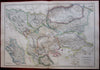
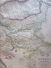
With a detailed inset of Moldavia at bottom left.
Original fold line as issued.
Sheet measures c. 14 1/2" H x 21 1/4" W.
Printed area measures c. 13 3/8" H x 19 3/8" W.
Tooleys Dictionary of Mapmakers , v. 3, p. 162.
[R2756].
[R19929].