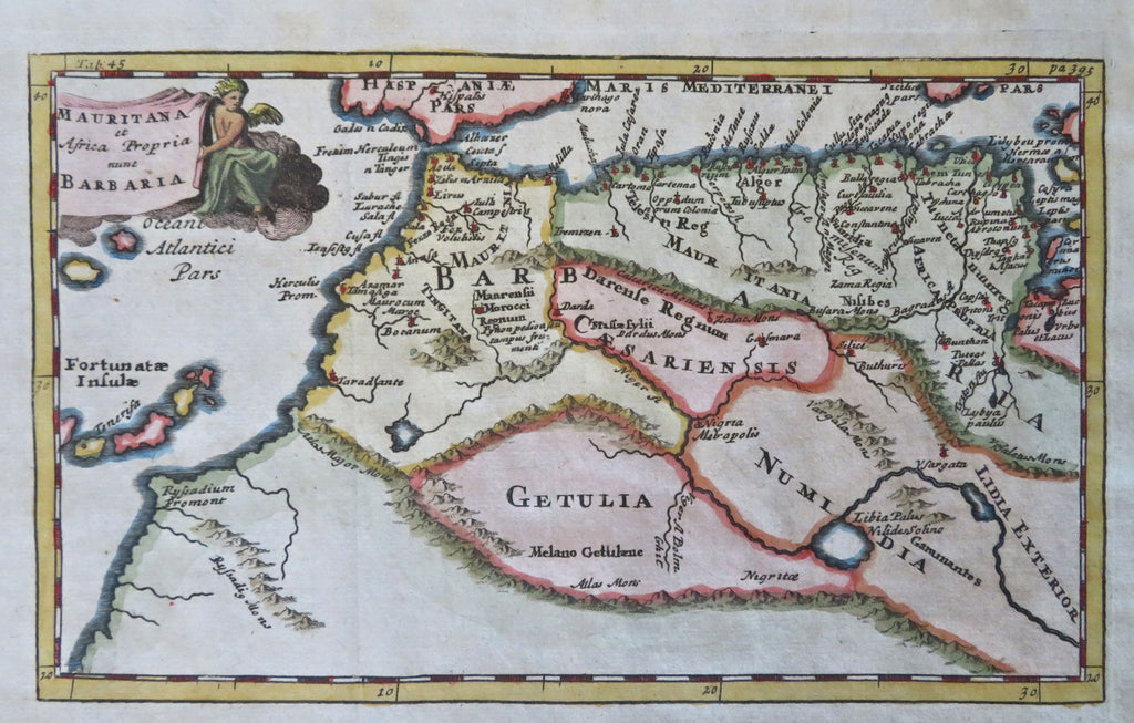
Barbary Coast North Africa Morocco Algeria Atlas Mountains 1711 decorative map
Brian DiMambro


Mauritana et Africa Propria nunc Barbary.
(Old Maps, 18th Century Maps, Africa, North Africa, Barbary Coast, Morocco, Algeria, Atlas Mountains, Tenerife).
Issued 1711, London for Cluverius.
Early 18th century engraved map with attractive hand color. Decorative cartouche with a cherub holding a title banner greatly enhances visual appeal.
Remains a nice looking example with a pleasing age patina. Any age flaws mostly minor and easy to overlook or forgive.
Original fold line as issued.
Sheet Measures c. 7 1/4" H x 9 1/2" W.
Engraved Area Measures c. 5 1/2" H x 8 1/4" W.
[B13582].
