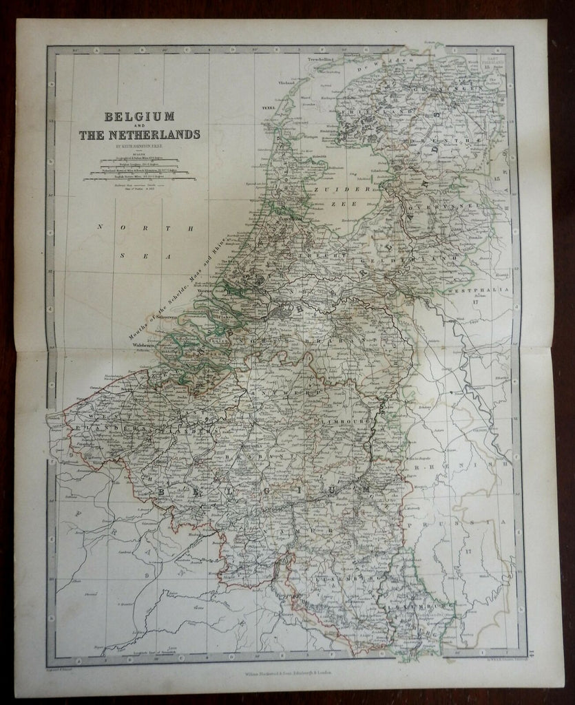
Belgium & the Netherland Low Countries Holland Luxemburg 1868 Johnston map
Brian DiMambro- Antiquarian Books, Maps & Prints


Belgium and the Netherlands.
(Europe, Low Countries, Netherlands, Belgium, Luxemburg, Holland, Brabant, Flanders, Utrecht, Zealand, Friesland, Gelderland).
Issued 1868, Edinburgh by William Blackwood & Sons. Engraved by W. & A.K. Johnston.
Mid 19th Century engraved map with original outline hand color.
Well preserved, nice looking example with pleasing age patina.
Original center fold as issued.
Sheet Measures c. 14 1/2" H x 18 1/4" W.
[R26061].
