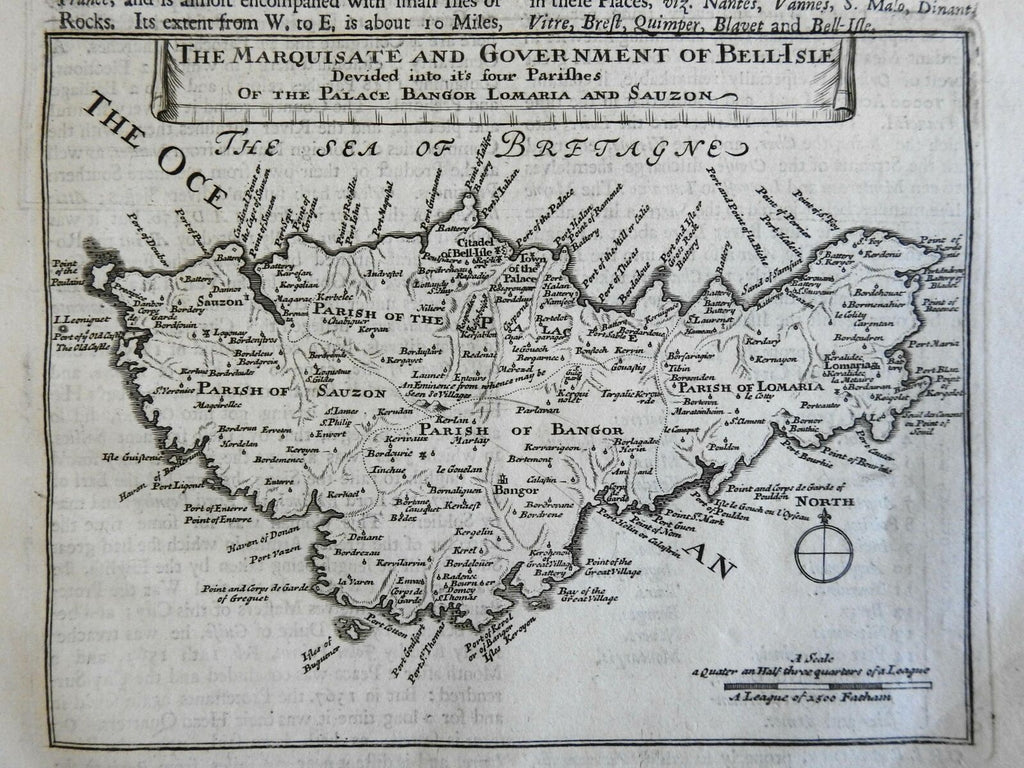
Belle Ile Brittany France Parish Divisions 1695 Moll engraved map
Brian DiMambro- Antiquarian Books, Maps & Prints


The Marquisate and Goverment of Bell-Isle, Divided into its four Parishes of the Palace Bangor, Lomaria, and Sauzon.
(Europe, France, Brittany, Belle Ile, de Palais, Bangor, Locmaria, Sauzon).
Issued 1695, London by Moll.
Late 17th century engraved map. Text above map as always, please see photos.
Nice looking example, pleasing age patina, any minor age flaws easy to overlook or forgive.
Sheet measures c. 12 1/2" H x 8" W.
Engraved area measures c. 6 3/4" H x 7 1/2" W.
Cartographic Reference(s):.
Tooley's Dictionary of Mapmakers, vol. 3.
[R23428].
