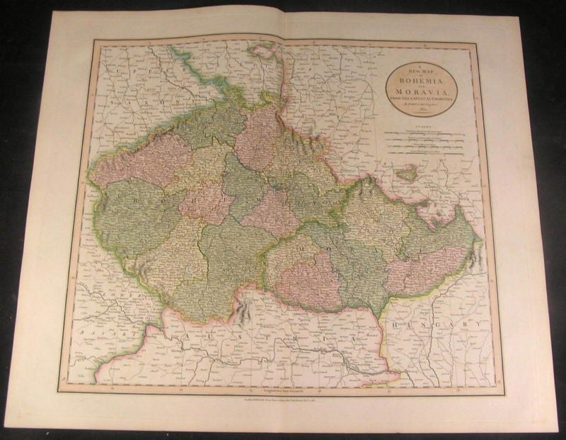
Bohemia Moravia Austria 1801 Cary fine engraved folio antique hand color map
Brian DiMambro- Antiquarian Books, Maps & Prints


A New Map of Bohemia and Moravia.
From the Latest Authorities.
(Germany / Austria / Hungary / etc.)
Issued London, 1801 by Cary.
A lovely oversize early-19th century map of the region by this important English engraver / cartographer.
In near VG mostly clean condition. Some light offsetting and very light scattered foxing. Otherwise map remains clean and quite well-preserved overall, still attractive and pleasing. Original fold line as issued.
Cary's maps were issued in a variety of coloring levels, this example with full block color heightened in outline and with the sea area colored displaying the highest and visually most pleasing. The Rumsey Collection example is of the type more frequently encountered, with only outline color.
Sheet measures c. 25" W x 21 3/8" H.
Engraved area measures c. 20 1/2" W x 18" H.
Folio.
Tooleys Dictionary of Mapmakers , vol. 1, p.239
R628
