Bonne Germany fortified city plan c.1720 original antique map
Brian DiMambro- Antiquarian Books, Maps & Prints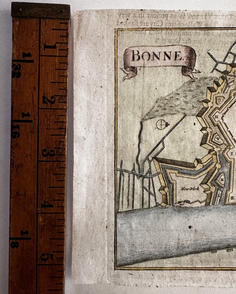
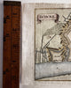
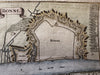
Issued c.1720's, likely London. Perhaps Moll?
Original engraved antique map with pleasing hand color.
Text on reverse as always/ issued.
Clean example, very nice small map for gift giving or framing for display.
B14797