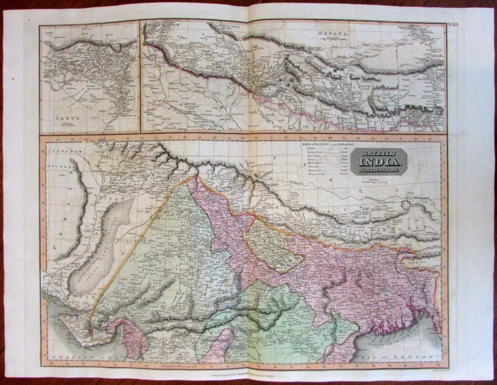
British India Nepal detailed large inset Cabul 1817 Thomson engraved map
Brian DiMambro- Antiquarian Books, Maps & Prints


British India, Northern Part.
Nepaul.
Cabul.
(Asia / Nepal / India / Cabul).
Issued 1817, Edinburgh. Engraved by S.J. Neele for Thomson's New General Atlas.
Fine monumental early 19th century engraved map, with lovely original hand color. Avery detailed rendering of Nepal for this era, as well as Cabul.
Nice looking example, pleasing age patina, any minor age flaws easy to overlook or forgive.
Original fold line as issued.
Sheet Measures c. 21 1/4"H x 28 1/8"W.
Engraved Area Measures c. 19 5/8"H x 23 3/8"W.
Cartographic Reference(s):
Tooley's Dictionary of Mapmakers, vol. #, pp. ###.
[R18979].
