British Isles Ireland United Kingdom c. 1863 Dufour & Dyonnet folio map
Brian DiMambro- Antiquarian Books, Maps & Prints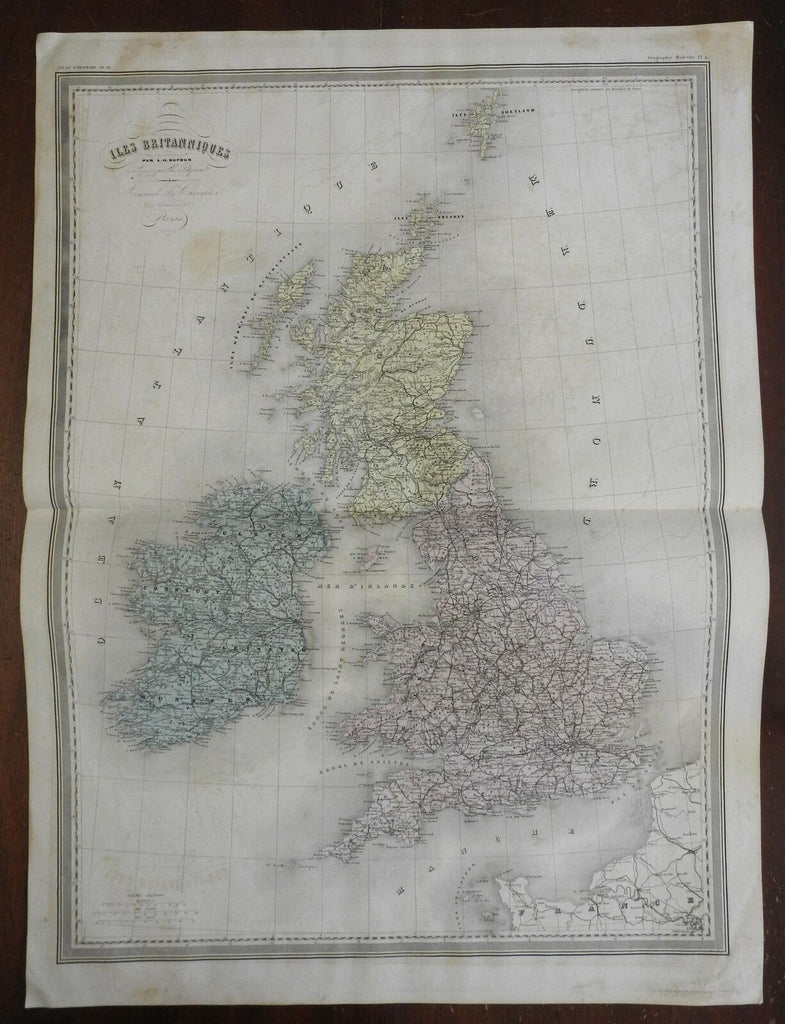
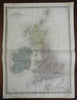
Isles Britanniques.
(Europe, British Isles, Ireland, United Kingdom, England, Scotland, Wales, London, Cardiff, Edinburgh, Dublin).
Issued c. 1863, Paris by Le Chevalier. Map by Dufour and Dyonnet.
Very nice, oversized mid 19th century engraved map with lovely hand color.
Nice looking example, pleasing age patina, paper well uniformly age toned, some light offsetting, any minor age flaws easy to overlook or forgive.
Original center fold as issued.
Sheet Measures c. 24" H x 33" W.
Cartographic Reference(s):
Tooley's Dictionary of Mapmakers, vol. 1.
[R25606].