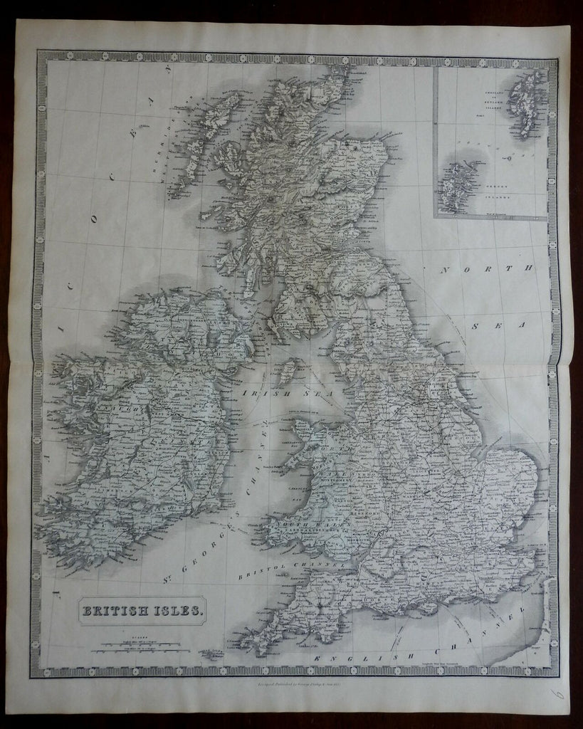
British Isles United Kingdom Ireland England Scotland Wales 1852 Philip map
Brian DiMambro- Antiquarian Books, Maps & Prints


British Isles.
(Europe, British Isles, United Kingdom, Ireland, England, Wales, Scotland).
Issued 1852, London by George Philip & Son.
Mid 19th century engraved map with original hand color. Scarce oversized map with a nice level of detail.
Nice looking example, pleasing age patina, any minor age flaws easy to overlook or forgive.
Original center fold as issued.
Sheet measures c. 26" H x 21 1/4" W.
Engraved area measures c. 23 3/4" H x 20" W.
Cartographic Reference(s):.
Tooley's Dictionary of Mapmakers, vol. 3.
[R22355].
