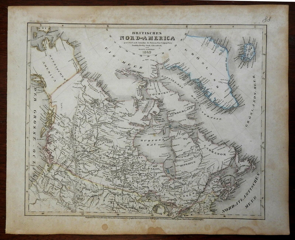
British North America Canada Maritime Provinces British Columbia 1849 Meyer map
Brian DiMambro- Antiquarian Books, Maps & Prints


Britischen Nord-America.
(North America, Canada, Quebec, Ontario, Maritime Provinces, Yukon Territories, Saskatchewan, Hudson Bay, St. Lawrence River).
Issued 1849, Hildburghausen by the Bibliographischen Institut zu Hildburghausen. Map by Radefeld.
Detailed mid-19th century engraved German map with original hand color.
Nice looking example, pleasing age patina, some typical mostly light age spotting, any minor age flaws easy to overlook or forgive.
Sheet Measures c. 12" W x 9 3/4" H.
Engraved Area Measures c. 10 1/4" W x 8 1/4" H.
Cartographic Reference(s):
Tooley's Dictionary of Mapmakers, vol. 1.
[R24684].
