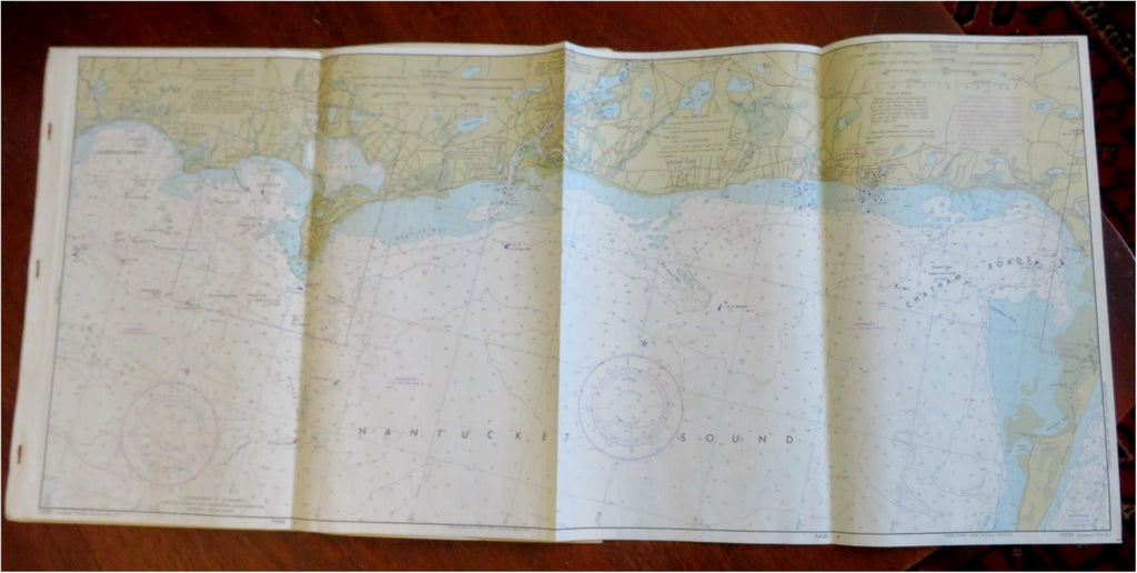
Cape Cod & Buzzard's Bay Massachusetts 1977 So. coastal survey nautical maps x 4
Brian DiMambro


(Old Maps, 20th Century Maps, Nautical Charts, Americana, United States, New England, Massachusetts, Cape Cod, Buzzard Bay).
South Coast of Cape Cod and Buzzard's Bay, Massachusetts. Nautical Chart 13229.
Published February, 1977, Washington, D.C. by National Oceanic and Atmospheric Administration, U.S. Department of Commerce.
Series of four oblong large folding nautical maps, all four printed on both sides. Text in English.
Publisher's pictorial cardstock wrappers, stapled along left edge as issued.
All the maps are easily removed if display is desired, with a minimum of four displayable maps, more if smaller maps are chosen.
Item is old and shows some signs of handling and time. Item is not new or in "new" condition.
Paper gently age worn, slight rubbing, staples rusted, remains overall clean and attractive as a fragile survival.
Paper is lightly toned, signs of handling, small scattered spotting, internally still well preserved, tight, sound.
Still attractive on the shelf. The scarce item displays a pleasing and unique age patina and overall is in nice antiquarian condition, any age flaws easy to overlook or forgive.
Please review photos for more detail and our best attempt to convey how this offering survives.
Covers measures c. 14 3/4" H x 9" W.
[B9663].
