Cincinnati Ohio city plan 1853 Ensign charming miniature hand colored gift map
Brian DiMambro- Antiquarian Books, Maps & Prints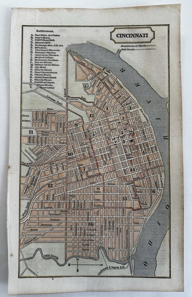
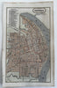
Cincinnati. (Ohio).
(Old Maps, 19th Century Maps, Americana, United States).
Issued 1853, New York by Fanning.
Key at top left corner notes approx. 20 spots, including theatres, various mansion houses, Halls and the astronomy observatory.
Uncommon and charming little mid 19th century wax engraved (cerographic) city plan map with lovely hand color.
Issued within a scarce Gazetteer, text on reverse as always.
Remains an exceptionally nice looking example with a pleasing age patina. Any age flaws mostly minor and easy to overlook or forgive.
Sheet Measures c. 9" x 5 1/2".
Engraved Area Measures c. 8 1/4" x 4 3/4".
B15533