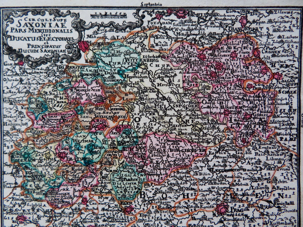
Electorate of Saxony Holy Roman Empire Dresden Weimar 1726 Lobeck Lotter map
Brian DiMambro


Cerculi Supe. Sexoniae Pars Meridionalis sivue Ducatus, Electorat., et Principatus Ducum Saxoniae.
(Old Maps, 18th Century Maps, Europe, Holy Roman Empire, Germany, Saxony, Dresden, Meissen, Wittenberg, Weimer, Halberstadt).
Issued 1762, Augsburg by T. Lobeck. Maps by T.C. Lotter.
Mid 18th century engraved map with lovely hand color.
Well preserved, nice looking example with pleasing age patina.
Sheet Measures c. 4 1/2" H x 5 1/2" W.
Engraved Area Measures c. 3 3/4" H x 4 3/4" W.
Cartographic Reference(s):
Tooley's Dictionary of Mapmakers, vol. 3.
[R31109].
