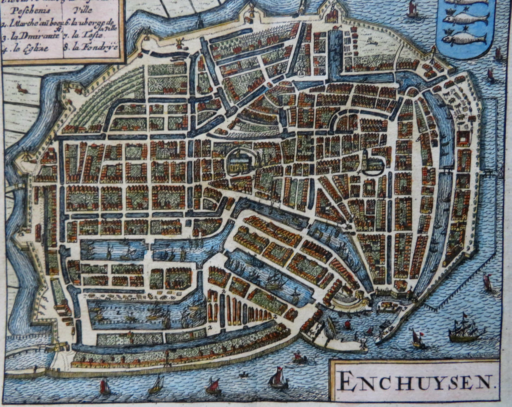
Enkhuizen Netherlands West-Frisia 1685 Guicciardini miniature city plan map
Brian DiMambro


Enchuysen.
(Old Maps, 17th Century Maps, Europe, Low Countries, Netherlands, West-Frisia, Enkhuizen, City Plan, Docks, Canals, Sailing Ships).
Issued 1685, Amsterdam by Guicciardini.
Charming late 17th century miniature engraved city plan map with very attractive hand color. Key at top left identifies eight important features within the plan. Dozens of tiny sailing ships, endless garden designs, truly a remarkable feat of micro-level engraving.
Remains a nice looking example with a pleasing age patina. Any age flaws mostly minor and easy to overlook or forgive.
Original center fold as issued.
Sheet Measures c. 5 1/4" H x 5 3/4" W.
Engraved Area Measures c. 4 1/4" H x 5 1/4" W.
Cartographic Reference(s):
Guicciardini Illustratus, p.
Tooley's Dictionary of Mapmakers, vol. 2.
[R31688].
