Essex English County Map Colchester c. 1785-90 small detailed engraved map
Brian DiMambro- Antiquarian Books, Maps & Prints
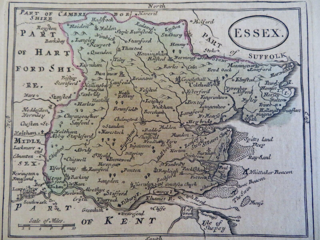
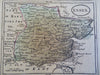
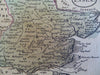
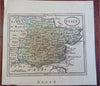
![Essex English County Map Colchester c. 1785-90 small detailed engraved map](http://briandimambro.com/cdn/shop/products/57_64e9edb3-a469-447b-830b-1ffe1c1c16eb_1024x1024.jpg?v=1658353516)
![Essex English County Map Colchester c. 1785-90 small detailed engraved map](http://briandimambro.com/cdn/shop/products/57_64e9edb3-a469-447b-830b-1ffe1c1c16eb_small.jpg?v=1658353516)
![Essex English County Map Colchester c. 1785-90 small detailed engraved map](http://briandimambro.com/cdn/shop/products/57_e2f74424-f304-4b42-aceb-32c5ac03d1a9_small.jpg?v=1658353516)
![Essex English County Map Colchester c. 1785-90 small detailed engraved map](http://briandimambro.com/cdn/shop/products/57_610061da-9717-4a4c-8f06-5972d7b31e38_small.jpg?v=1658353516)
Essex.
(Old Maps, Europe, British Isles, United Kingdom, England, Essex, Colchester, London, Rumford).
Issued c. 1785-90, United Kingdom.
Late 18th century engraved county map with original hand color.
Well preserved, nice looking example with pleasing age patina.
Sheet Measures c. 6 1/2" H x 6 7/8" W.
Engraved Area Measures c. 4 1/2" H x 5 3/4" W.
[R28598].