Europe Continent Germany France Ottoman Empire Russia Austria 1853 Hall Map
Brian DiMambro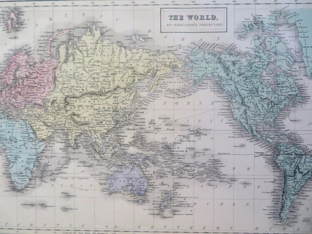

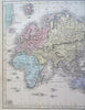

Europe.
(Old Maps, 19th Century Maps, Europe, Iberia, France, British Isles, Iceland, Low Countries, German Confederation, Scandinavia, Austria-Hungary, Italy, Russia, Ottoman Empire, Greece).
Issued 1853, Edinburgh by A. & C. Black. Engraved by G. Aikman.
Mid 19th century engraved map with original hand color.
Well preserved, nice looking example with pleasing age patina.
Sheet Measures c. 12 1/2" H x 17" W.
Engraved Area Measures c. "H x "W.
Cartographic Reference(s):
Tooley's Dictionary of Mapmakers, vol 1.
[R30956].