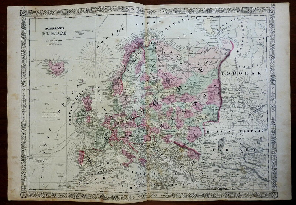
Europe France Ottoman Empire Italy Iberia 1864 Johnson & Ward civil war era map
Brian DiMambro- Antiquarian Books, Maps & Prints


Johnson's Europe.
(Europe, Iberia, France, British Isles, Germany, Italy, Scandinavia, Russian Empire, Austria-Hungary, Ottoman Empire).
Issued 1864, New York by Johnson & Ward.
Large civil war era mid 19th century lithographed map with original hand color.
Interesting version with numerous nautical tracks of early explorers shown in the ocean, including those of Captain Cook returning in 1771 and 1775, plus those of Vancouver, Carteret, Wallis and Byron. Interesting transitional depiction of the German states which include a short key identifying them within the ocean.
A decorative scrolled border adds to the visual appeal of the map. These borders changed over time and help to identify different states and issues of Johnson maps, which makes them an interesting area to collect.
Nice looking example, pleasing age patina, light soiling and small scattered spotting, any minor age flaws easy to overlook or forgive.
Original center fold as issued.
Sheet Measures c. 18" H x 26 1/2" W.
Cartographic Reference(s):
Tooley's Dictionary of Mapmakers, vol. 2, pp. 443
[R24109].
