Europe Ottoman Empire large Poland 1795 Cadell & Davies hand color engraved map
Brian DiMambro- Antiquarian Books, Maps & Prints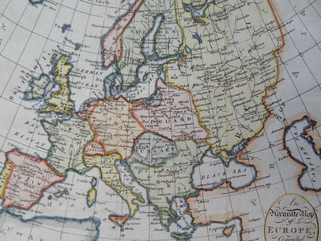
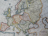
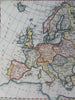
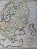
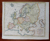
An Accurate Map of Europe, Compiled from the Best Authorities.
(Old Maps, 18th Century Maps, Europe, Iberia, France, British Isles, Low Countries, Holy Roman Empire, Switzerland, Italy, Scandinavia, Poland, Hungary, Ottoman Empire, Russian Empire).
Issued 1795, London by Cadell & Davies. Engraved by Neele.
Late 18th century engraved map with attractive hand color.
Remains a nice looking example with a pleasing age patina. Any age flaws mostly minor and easy to overlook or forgive.
Original fold lines as issued.
Sheet Measures c. 8 1/2" H x 10 1/4" W.
Engraved Area Measures c. 7 1/2" H x 9" W.
Cartographic Reference(s):
Tooley's Dictionary of Mapmakers, vol. 1.
[R36611].