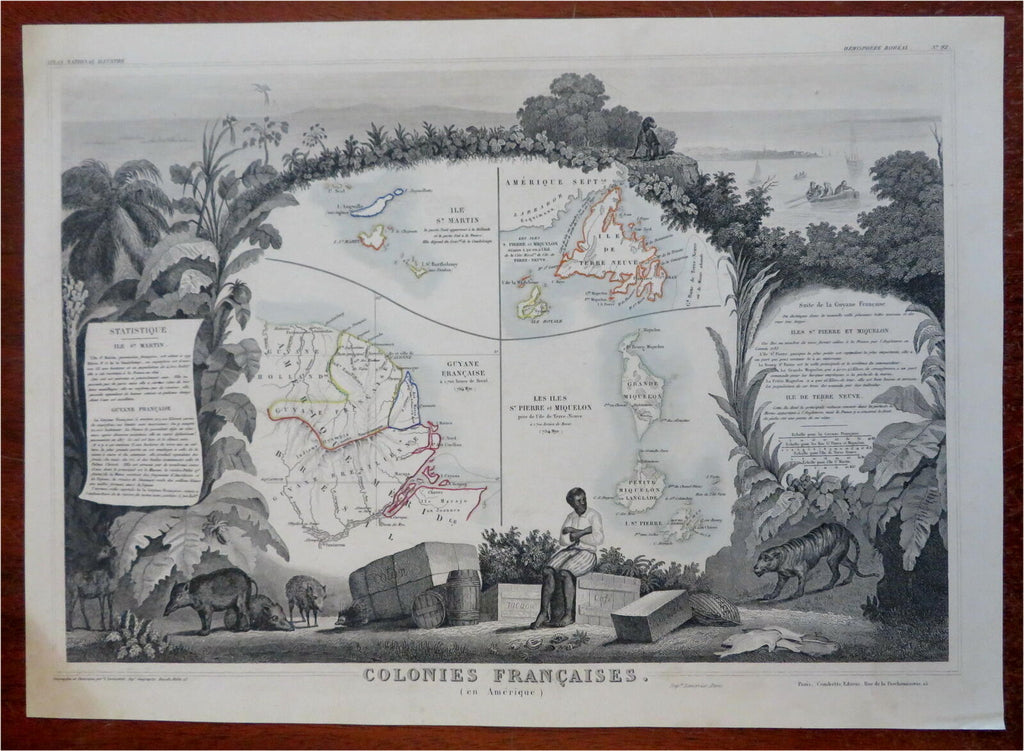
French Colonies St. Martin Guyana St. Pierre 1855 Levasseur decorative lg. map
Brian DiMambro- Antiquarian Books, Maps & Prints


Colonies Francaise.
(Old Maps French Colonies, South America, French Guyana, Ile de Terre Neuve, St. Martin, St. Pierre & Miquelon, Decorative Maps).
Issued c. 1855, Paris by Lemercier. Engraved by Laguillermie, Cartography by Levasseur.
Wonderful decorative mid 19th century engraved map with original outline hand color.
Lovely elaborate decorative vignette border all around the central map greatly enhances the visual appeal. This includes figures, numerous types of animals and birds, etc.
Well preserved, light inoffensive old stain at lower left corner, nice looking example with pleasing age patina.
Sheet Measures c. 13 3/4" H x 20 1/4" W.
Engraved Area Measures c. 11 1/2" H x 16 1/4" W.
Cartographic Reference(s):
Tooley's Dictionary of Mapmakers, vol. 2.
[R28300].
