Gaul Ancient France Roman Provinces Northern Italy 1831 Lapie large folio map
Brian DiMambro- Antiquarian Books, Maps & Prints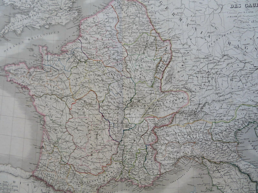
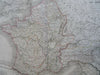
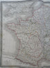
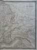
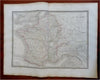
Carte des Gaules.
(Old Maps, 19th Century Maps, Historical Maps, Europe, France, Roman Empire, Gaul, Northern Italy, Venetia, Cisalpline Gaul).
Issued 1829, Paris by Lapie.
Finely engraved large oversize early 19th century map with original outline hand color. French text.
Nice looking example, pleasing age patina, blank margins with age spotting, faint minor spotting with map area, any minor age flaws easy to overlook or forgive. Nice looking map suitable for display.
Original center fold as issued.
Sheet measures c. 20" H x 25 1/2" W.
Engraved area measures c. 15 1/2" H x 21 1/4" W.
Cartographic Reference(s):.
Tooley's Dictionary of Mapmakers, vol. 2.
[R30559].