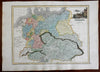
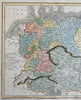
German Confederation Austrian Empire Prussia Poland 1820 Thomson decorative map
Brian DiMambro- Antiquarian Books, Maps & Prints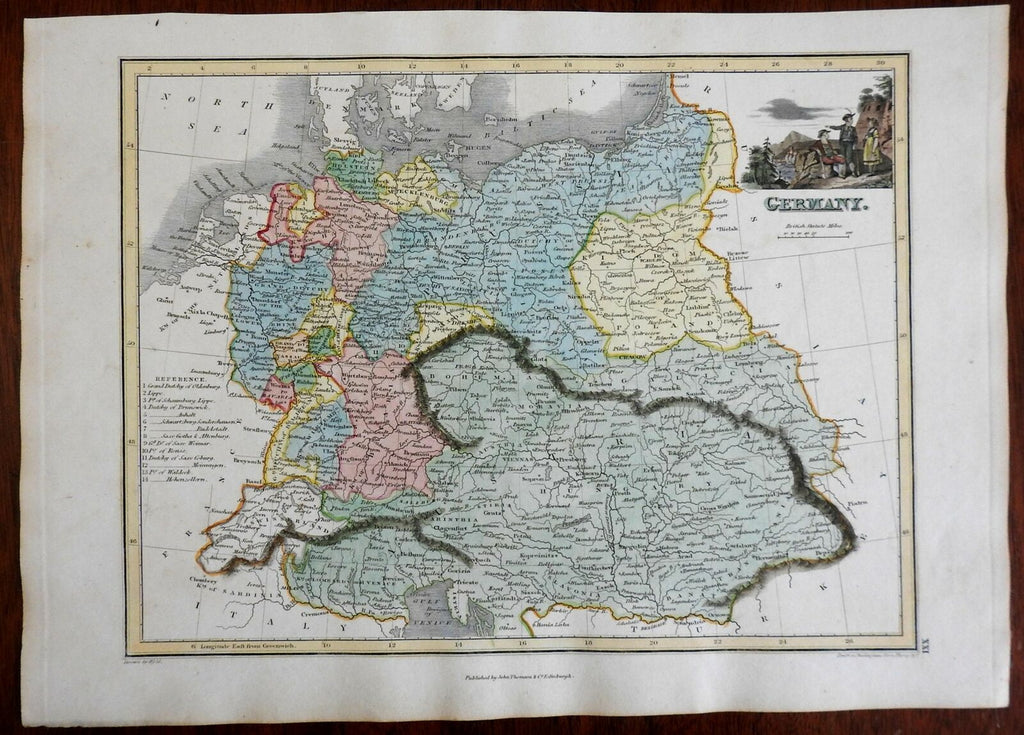
Germany.
(Europe, German Confederation, Austrian Empire, Hapsburg Empire, Hungary, Poland, Prussia, Bavaria, Hanover, Saxony).
Issued c. 1820, Edinburgh by John Thomson.
Early 19th century engraved map with original hand color and decorative vignette depicting hikers.
Nice looking example, pleasing age patina, any minor age flaws easy to overlook or forgive.
Sheet Measures c. 10 1/4" H x 14 1/4" W.
Engraved Area Measures c. 8 3/4" H x 11 1/2" W.
Cartographic Reference(s):
Tooley's Dictionary of Mapmakers, vol. 4.
[PL36].