Germanic Tribes Ancient Germany Rhine River Danube 1711 Moll engraved map
Brian DiMambro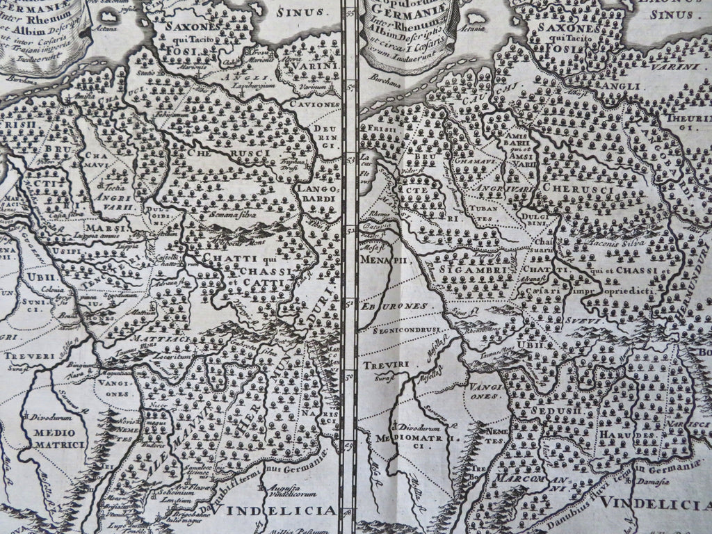
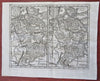
Populorum Germanie Inter Rhenum et Albim Descriptio.
(Old Maps, 18th Century Maps, Historical Maps, Europe, Germany, Germanic Tribes, Rhine River, Trajan, Roman Empire, Vindelicia).
Issued 1711, London for Cluverius.
Early 18th century engraved historical map.
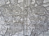
Remains a nice looking example with a pleasing age patina. Any age flaws mostly minor and easy to overlook or forgive.
Original fold lines as issued.
Sheet Measures c. 9 3/4" H x 13 1/4" W.
Engraved Area Measures c. 8" H x 9 1/2" W.
[R34333].