Germany Prussia Bavaria Austria Bohemia Hanover Saxony Rhineland 1856 Young map
Brian DiMambro- Antiquarian Books, Maps & Prints![Germany Prussia Bavaria Austria Bohemia Hanover Saxony Rhineland 1856 Young map](http://briandimambro.com/cdn/shop/products/57_3024c8e7-8e3c-4802-b0ef-67755882f5ba_1024x1024.jpg?v=1668025437)
![Germany Prussia Bavaria Austria Bohemia Hanover Saxony Rhineland 1856 Young map](http://briandimambro.com/cdn/shop/products/57_3024c8e7-8e3c-4802-b0ef-67755882f5ba_small.jpg?v=1668025437)
![Germany Prussia Bavaria Austria Bohemia Hanover Saxony Rhineland 1856 Young map](http://briandimambro.com/cdn/shop/products/57_4d64ec98-1f40-4df3-b2ef-dd16c764a950_small.jpg?v=1668025437)
![Germany Prussia Bavaria Austria Bohemia Hanover Saxony Rhineland 1856 Young map](http://briandimambro.com/cdn/shop/products/57_dd9bb612-38af-42e1-ba62-401cb1b8bbac_small.jpg?v=1668025437)
![Germany Prussia Bavaria Austria Bohemia Hanover Saxony Rhineland 1856 Young map](http://briandimambro.com/cdn/shop/products/57_d325338d-187c-4455-ad9e-28d8882e6487_small.jpg?v=1668025437)
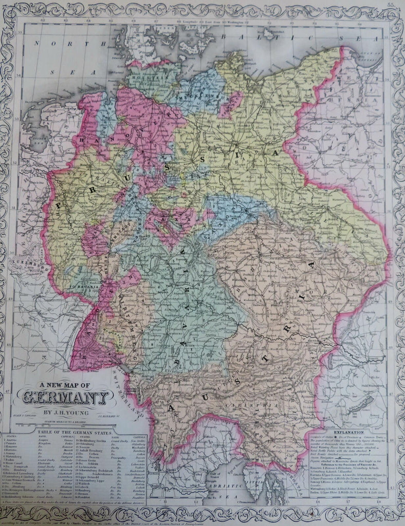
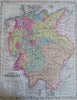
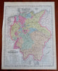
A New Map of Germany.
(Old Maps, 19th Century Maps, Europe, Germany, Prussia, Austria, Bavaria, Bohemia, Saxony, Pomerania, Hanover, Rhineland).
Issued 1856, Philadelphia by DeSilver. Map by J.H. Young.
Uncommon mid-19th century map, with original hand color. Nice decorative border.
Nice looking example, pleasing age patina, any minor age flaws easy to overlook or forgive.
Sheet Measures c. 14" x 18".
Cartographic Reference(s):
Tooley's Dictionary of Mapmakers, vol. 2, pp. 443
[R29451].