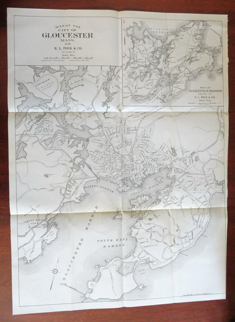
Gloucester Massachusetts 1938 Polk detailed city plan Annisquam Harbor
Brian DiMambro- Antiquarian Books, Maps & Prints


Map of the City of Gloucester Mass.
(North America, United States, New England, Massachusetts, Gloucester, Annisquam Harbor, City Plan).
Issued 1938, Boston by R.L. Polk & Co. From a city directory.
Early 20th century lithographed map on sturdy bond paper. Large inset at top right shows the environs around Gloucester.
Original fold lines as issued.
Sheet Measures c.25 1/2"H x 18 3/4"W.
Engraved Area Measures c. 24 1/4"H x 18"W.
Cartographic Reference(s):
Tooley's Dictionary of Mapmakers, vol. 3.
[B3592].
