Guilderland New York c.1972 pictorial map new Town Hall building & early roads
Brian DiMambro- Antiquarian Books, Maps & Prints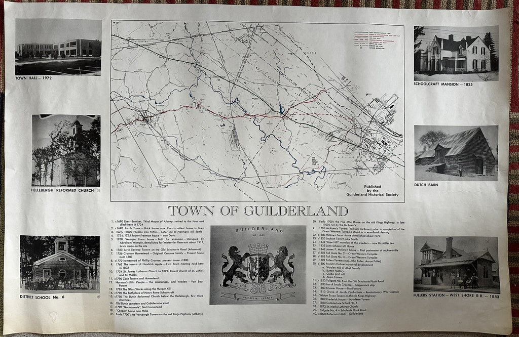
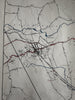
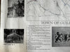
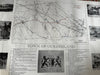
Town of Guilderland. [New York (near Albany)].
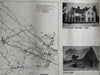
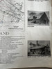
Large color lithographed historical map printed on heavy paper stock.
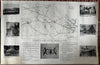
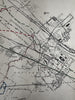
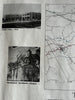
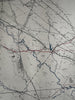
Shows the town and surrounding area over to Altamont. Map features six b&w photos on the sides, the main map set above two columns of historical text relating to significant historic spots and structures. The key at top right locates covered bridge sites and at least six early roads. Numerous cemeteries are identified and located, as are hundreds of individual buildings shown as precisely placed tiny dots.
Very good condition, some light age toning to left side of sheet, minor small edge flaws or imperfections, overall displays very well.
Likely uncommon due to small location and huge size. Huge separate sheets of paper like this have a relatively low survival rate in general for obvious reasons, this shrinkage effect amplifies the further back in time you go.
Sheet measures c. 24 3/4" H x 38" W.
R36029-tube 565bkrm