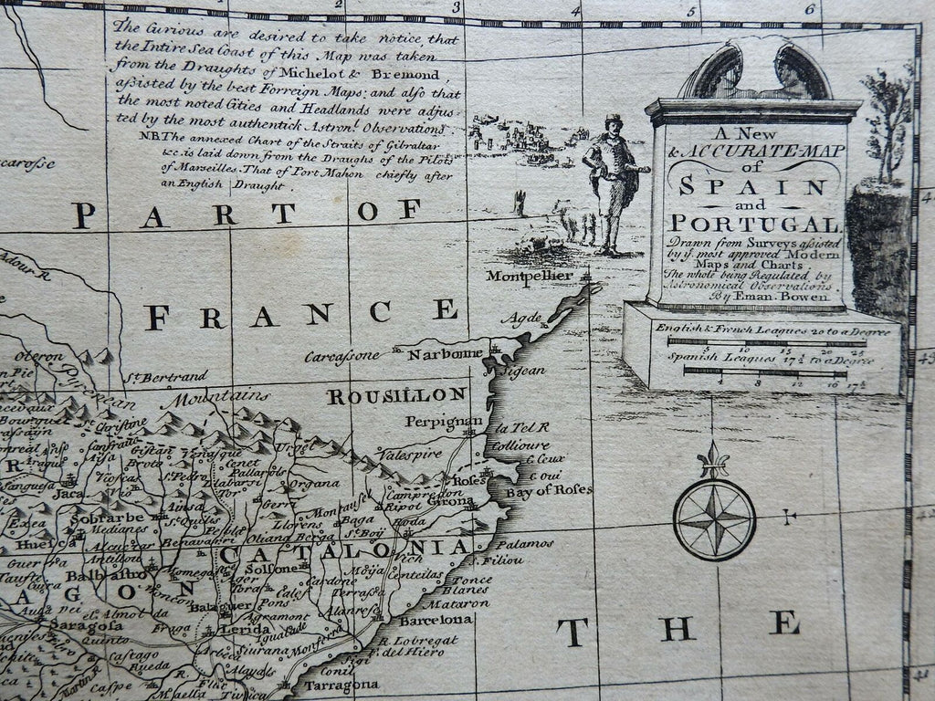
Iberia Spain & Portugal Balearic Isles Port Mahon 1760 Bowen decorative map
Brian DiMambro- Antiquarian Books, Maps & Prints


A New & Accurate Map of Spain and Portugal...
(Europe, Iberia, Spain, Portugal, Balearic Islands, Port Mahon, Straits of Gibraltar).
Issued 1760, London by Em. Bowen.
Attractive mid 18th century engraved map. Pleasing decorative appeal due to the pictorial cartouche.
Inset depict Port Mahonon the island of Minorca and the Straits of Gibraltar.
Nice looking example, clean, pleasing uniform age patina, any minor age flaws easy to overlook or forgive.
Sheet measures c. 16" H x 19 1/2" W.
Engraved area measures c. 12 3/8" H x 17 1/4" W.
Cartographic Reference(s):
Tooley's Dictionary of Mapmakers, vol. 1.
[R23421].
