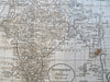
India Mughal Empire Agra Delhi Calcutta Bombay Madras 1796 Doolittle early map
Brian DiMambro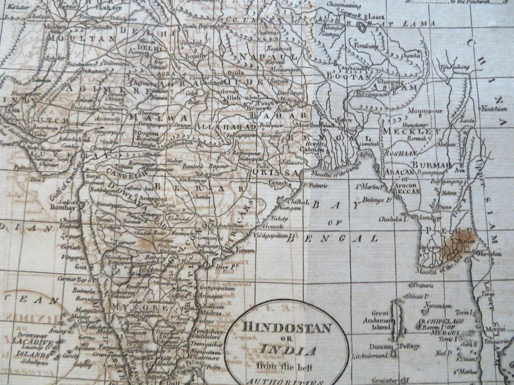


Hindostan or India from the Best Authorities.
(Old Maps, 18th Century Maps, Asia, Southeast Asia, Mughal Empire, India, Agra, Delhi, Calcutta, Bombay, Madras, Hyderabad, Goa).
Issued 1796, Boston by Thomas & Andrews. Engraved by Doolittle.
Late 18th century engraved map. Of note for being among the very earliest maps ever made in the United States of India, found here by one of the most active and well documented indigenous engravers of this early era.
Heavy offsetting, light overall browning, scattered spotting, still a nice looking example with a pleasing age patina, any minor age flaws easy to overlook or forgive.
Original fold lines as issued.
Sheet measures c. 8 1/4" H x 9 1/2" W.
Engraved area measures c. 7 1/4" H x 8 1/4" W.
Cartographic Reference(s):
Wheat & Brun, Maps Published in America Before 1800,
O'Brien, Amos Doolittle, Engraver of the New Republic, pp. 21-30.
Tooley's Dictionary of Mapmakers, vol. 1.
[R31536].