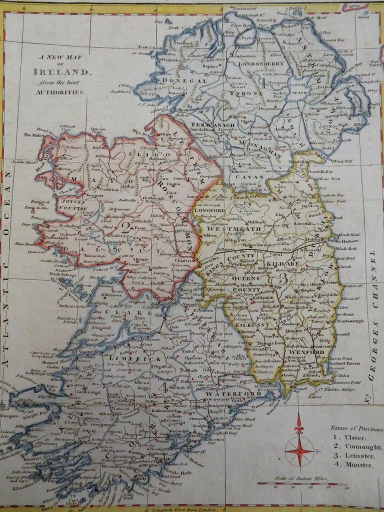
Ireland Dublin Derry Galway Cork Ulster Munster Connaught c. 1780 engraved map
Brian DiMambro- Antiquarian Books, Maps & Prints


A New Map of Ireland from the Best Authorities.
(Old Maps, 18th Century Maps, Europe, British Isles, Ireland, Ulster, Connaught, Leinster, Munster, Dublin, Derry, Galway, Cork).
Issued c. 1780-1810, London (?).
Late 18th century to early 19th century engraved map with attractive hand color.
Remains a nice looking example with a pleasing age patina. Any age flaws mostly minor and easy to overlook or forgive.
Original fold lines as issued.
Sheet Measures c. 12 3/4" H x 10 1/4" W.
Engraved Area Measures c. 11" H x 8 1/2" W.
[R29566].
