Isles of Shoals Maine New Hampshire Smuttynose Star 1873 nautical coastal map hc
Brian DiMambro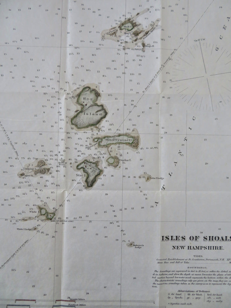
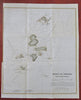
Isles of Shoals.
(Old Maps, 19th Century Maps, Americana, North America, United States, New England, Isles of Shoals, Smuttynose Island, Appledore Island, Hog & Star Island).
Issued c. 1873, United States. Lithographed by J. Buffords.
Early 20th century coastal survey map with attractive hand color. Text on reverse as issued.
Clean, well preserved example, minor edge wrinkle, short 1.5" tear from left edge inset tab closed on reverse with archival tape and easy to overlook or miss.
Sheet Measures c. 10" H x 6 1/2" W.
Printed Area Measures c. 9" H x 6" W.
[R35033].