Isles of Shoals Smuttynose & Hog Islands 1850 Blunt engraved coastal survey map
Brian DiMambro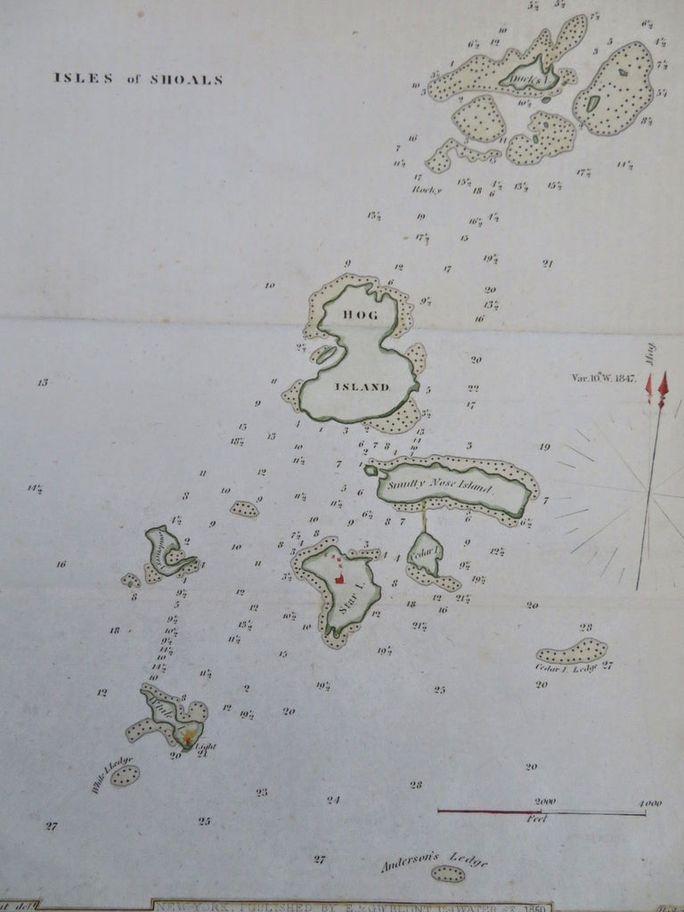
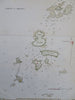
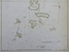
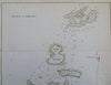
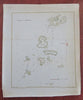
Isles of Shoals.
(Old Maps, 19th Century Maps, Americana, United States, New England, New Hampshire, Maine, Isles of Shoals, Hog Island, Smuttynose Island).
Issued 1850, New York by E. & G.W. Blunt. Engraved by Hooker.
Mid 19th century engraved map with attractive hand color.
Remains a nice looking example with a pleasing age patina. Any age flaws mostly minor and easy to overlook or forgive.
Sheet Measures c. 11 1/4" H x 9" W.
Engraved Area Measures c. 9" H x 7 1/2" W.
Cartographic Reference(s):
Tooley's Dictionary of Mapmakers, vol. 1.
[R35368].