Kansas Nebraska Colorado Rocky Mountains Omaha Topeka Boulder 1866 Mitchell map
Brian DiMambro- Antiquarian Books, Maps & Prints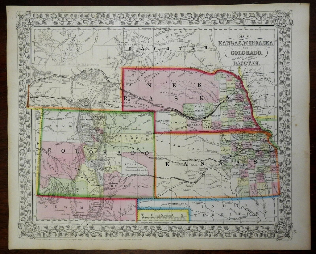
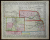
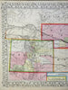
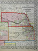
Map of Kansas, Nebraska, and Colorado, Showing Also the Southern Portion of Dacotah.
(North America, United States, Midwest, Nebraska, Kansas, Colorado, Omaha, Topeka, Boulder).
Issued c. 1866, Philadelphia by S.A. Mitchell.
19th century engraved map, with original hand color. Mitchell maps of this mid-century era were issued with a range of color as well as variant decorative borders.
There are also numerous variant issues of most Mitchell maps of this era, reflecting the evolution and growth of the state counties.
Nice looking example, pleasing age patina, any minor age flaws easy to overlook or forgive.
Sheet Measures c. 12 1/2" x 15 1/4".
Engraved Area Measures c. 10 1/2" x 13 1/2".
Cartographic Reference(s):
Reps, American Maps and Mapmakers, p. 313.
Tooley's Dictionary of Mapmakers, vol. 4, pp. 260.
[R24413].