Kentucky Louisville Frankfort 1853 scarce hand colored cerographic map
Brian DiMambro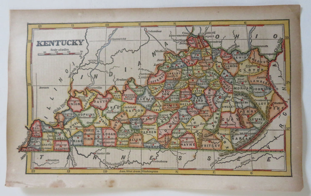
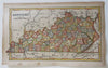
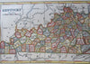
Kentucky.
(Old Maps, 19th Century Maps, Americana, United States, Kentucky, Louisville, Frankfort.
Issued 1853, New York for Phelps & Fanning.
Original mid- 19th century wax engraved (cerographic) gazetteer map with lovely hand color. Text on reverse as always, the only way to own this map.
A superior visual example of a map rarely encountered with such pleasing hand color.
Pleasing age patina, any age flaws minor and easy to overlook or forgive.
Sheet Measures c. 9 1/4" H x 5 1/2" W.
Engraved Area Measures c. 8" H x 4 3/4" W.
[B13592].