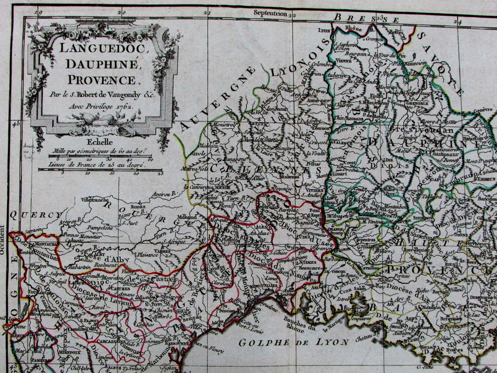
Languedoc Dauphine Provence France Riviera Lyon 1762 Vaugondy old Vaugondy map
AntiqueMapsPrints.com


Languedoc,
Dauphine, Provence
(France departments- French Riviera / Italian coast- Italy- Italia / Switzerland / etc.)
Issued Paris, c. 1761-2 by R. de Vaugondy family. Engraved by Dussy.
Beautiful mid-18th century engraved map with original outline hand color. Title at top right with small simple strapwork & vegetation cartouche.
Map remains well preserved.
Original center fold line as issued.
Sheet measures c. 15 1/2" x 11 1/2"
Printed area measures c. 8 3/4" x 9 1/2"
Small oblong folio sheet map.
Pedley.
Bel et Utile, de Vaugondy Mapmakers
, p. 232, 26.
Tooleys
Dictionary of Mapmakers
, v. IV, p. 191, pg. 52.
[R12878]
