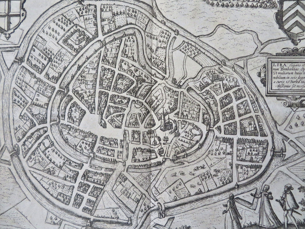
Lier Brabant Belgium Low Countries 1612 Blaeu Guicciardini lovely city plan map
Brian DiMambro


Lier. Lira elegans...
(Old Maps, 17th Century Maps, Europe, Low Countries, Belgium, Brabant, Lira, City Plan, Fortifications).
Issued Amsterdam, 1612 by Blaeu for Guicciardini.
Beautiful, detailed early 17th century copper engraved city plan.
The map captures the city at an early stage of development, surrounded by fortified walls. Decorative strapwork cartouche as well as shields and three locals in native dress enhances the visual appeal.
Mostly clean & well preserved example, couple of well done old paper repairs on verso at bottom of centerfold (invisible when viewing map), trivial blank margin corner staining & edge toning which visually testifies to the age and patina. If this were an antique coin, it would have a nice surface.
Sheet measures c. 14 1/4" x 11 3/4"
Printed area measures c. 11 1/4" x 8 3/4"
Original centerfold as issued.
Tooley's Dictionary of Mapmakers , v. I, p. 143-145.
Deys' Guicciardini Illustratus. Lier 2.2-11.
Koeman's Atlantes Neerlandici, v. I, p. 295-331.
[R34324]
