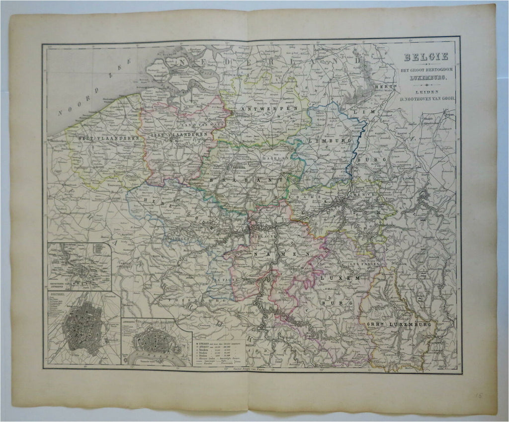
Low Countries Belgium Luxembourg Flanders 1876 Otterloo scarce large Dutch map
Brian DiMambro- Antiquarian Books, Maps & Prints


Belgie en Het Groot Hertogdom Luxemburg.
(Old Maps, 19th Century Maps, Europe, Low Countries, Belgium, Flanders, Antwerp, Brabant, Limburg, Namen, Brussels).
Issued 1876, Leiden, Netherlands by van Goor. Map by Otterloo.
Very scarce large mid 19th century engraved map with original hand color.
Well preserved, nice looking example with pleasing age patina.
Original center fold as issued.
Sheet Measures c. 22" H x 17 1/2" W.
Engraved Area Measures c. 18" H x 14 1/2" W.
Cartographic Reference(s):
Tooley's Dictionary of Mapmakers, vol. 3.
[R28101].
