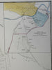
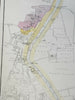
Lucknow India British Raj detailed plan 1856-72 Weller map w/ mud huts shown
Brian DiMambro- Antiquarian Books, Maps & Prints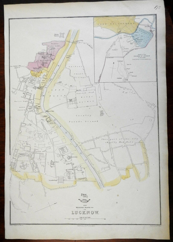


The Residency, Palaces, &c; of Lucknow.
(Asia, India, British Raj, Lucknow, Goomtee River, Cavalry Parade Grounds, Barracks, Tomb, British Resident's House)
Issued c. 1856-72, London by Day & Son for Weekly Dispatch. Engraved by Weller.
Fine and historically interesting antique lithographed map with original outline color.
With many specific buildings named, a large area across the river labelled as "chiefly mud huts".
Overall clean with minor light signs of age.
Sheet Measures c. 19" H x 13" W.
Printed Area Measures c. 17" H x 12" W.
Cartographic Reference(s):
Tooley's Dictionary of Mapmakers, vol. 4.
[PL10 - R2885].