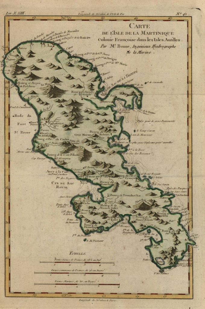
Martinique French Colony Lesser Antilles Caribbean Island 1780 Bonne map
Brian DiMambro- Antiquarian Books, Maps & Prints


Carte de L'Isle de la Martinique.
(North America, Caribbean, Lesser Antilles, Windward Isles, Martinique, French Colony).
Issued c.1780, Paris by M. Bonne.
Late 18th century engraved map with lovely hand color.
Nice looking example, pleasing age patina, any minor age flaws easy to overlook or forgive. Original fold-lines.
Sheet Measures c. 15" H x 10" W.
Engraved Area Measures c. 12 1/2" H x 8 3/8" W.
Cartographic Reference(s):
Tooley's Dictionary of Mapmakers, vol. 1..
[R21671].
