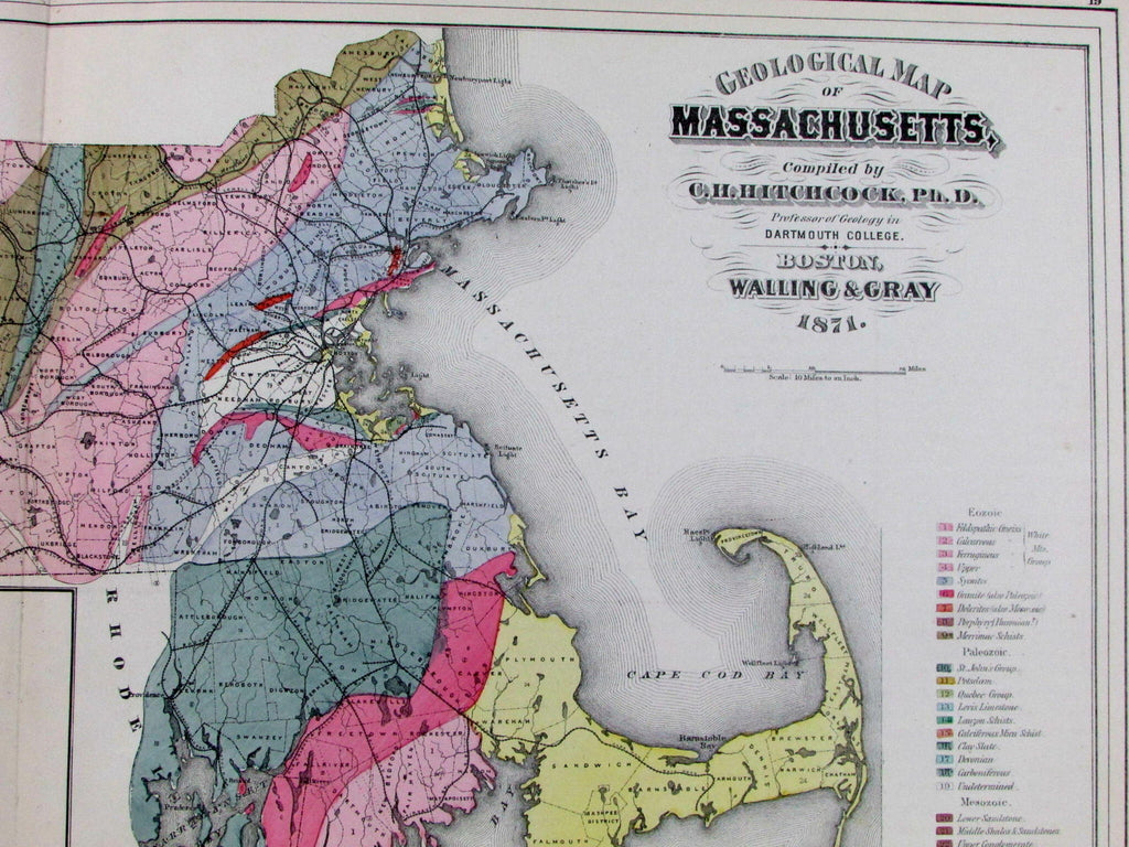
Massachusetts Boston geological map C. H. Hitchcock 1871 old Walling & Gray map
AntiqueMapsPrints.com


Geological Map of Massachusetts,
Compiled by C.H. Hitchcock, Ph.D.
Professor of Geology in Dartmouth College.
Issued Boston, 1871 by Walling & Gray.
Oversized mid-19th century folio sheet antique map. Engraved and lithographed with original hand color, thick paper as issued.
By one of the most eminent names in the field of American geology.
Vibrantly detailed, with long color coded key right below title denoting 34 different geological designations. Illustration of Paradoxides Harlani (giant trilobite) at bottom to left of fold line. Explanatory text begins on reverse and continues around.
Attractive looking example, short closed splits at fold-line ends as often seen, but overall remaining clean with a fine visual appearance. Nice looking nearly 150 year old map with a pleasant age patina.
Sheet measures c. 17" x 25 1/2". (over 2 feet wide).
Engraved area measures c. 14 1/2" x 23 1/2".
Delaney, Landmark Thematic Maps, p. 93 (emphasising Hitchcock's importance with numerous examples).
Tooley's Dictionary of Mapmakers , vol. II, pg. 206.
*original lithographers precisely placed pinhole found bottom left neat line corner, used to affix the sheet to the stone for printing.
[R12923]
