Monte Carlo Monaco French Riviera c.1910 maps city plans wonderful pocket guide
Brian DiMambro- Antiquarian Books, Maps & Prints


(Old Books, Early 20th Century Books, Travel Guides, Tourism, France, Nice, Bijou, French Riviera, flags).
Nice and Neighborhood, Containing Useful Information about the Whole Riviera. [Antibes, Cannes, Grasse, Monaco, Monte-Carlo, Menton].
Published c. 1910, Nice, France. 37th Year.
96 pages. Text in English. Contains 3 large folding city plans and 1 map, 28 photographic views. Illustrated throughout, some advertising.
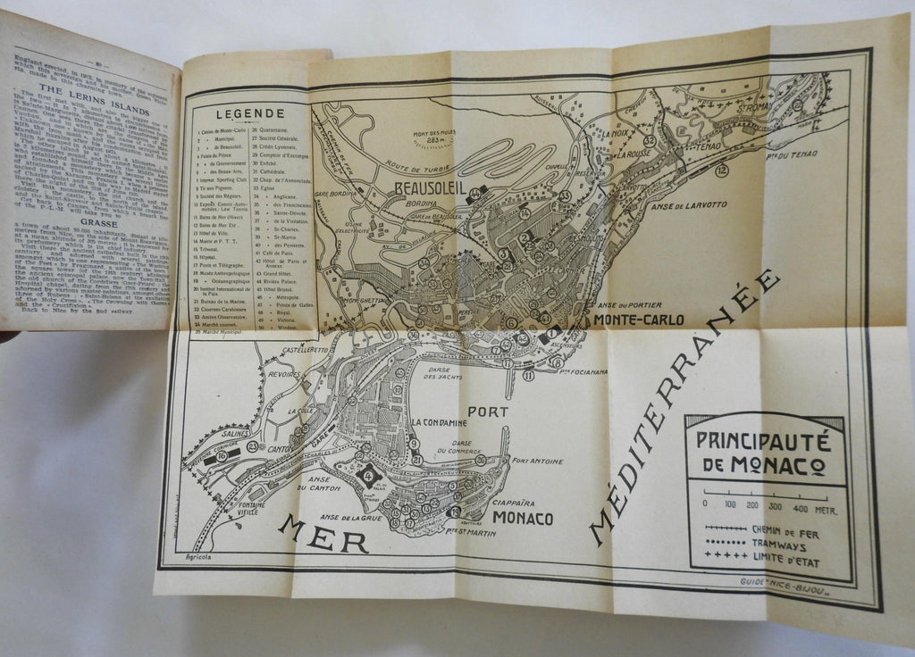
Illustrated color lithographed paper wrappers. Charming small pocket size with very nice folding maps. The largest and most detailed map is a fine (and uncommon) plan of Nice, the Monaco plan with key top left identifying 50 specific sites of importance, including hotels, museums, casinos and public baths.
Item is physically old and shows some signs of handling and time. Item is not new or in "new" condition.
Binding lightly rubbed, minor spotting, still mostly clean, fresh and very attractive form something as fragile as this. Scarce thus.
Text block paper is clean, fresh, internally well preserved, only faint tiny scattered age spotting, any flaws of a minor type unworthy of specific mention.
Still attractive on the shelf. Item displays a pleasing and unique age patina and is in nice antiquarian condition, any age flaws easy to overlook or forgive.
Please review photos for more detail and our best attempt to convey how this antique item survives.
Book Measures c. 5 1/4" H x 3 5/8" W.
[B1731].
