New Jersey state map 1825 Carey & Lea Buchon historical religion commerce info
Brian DiMambro- Antiquarian Books, Maps & Prints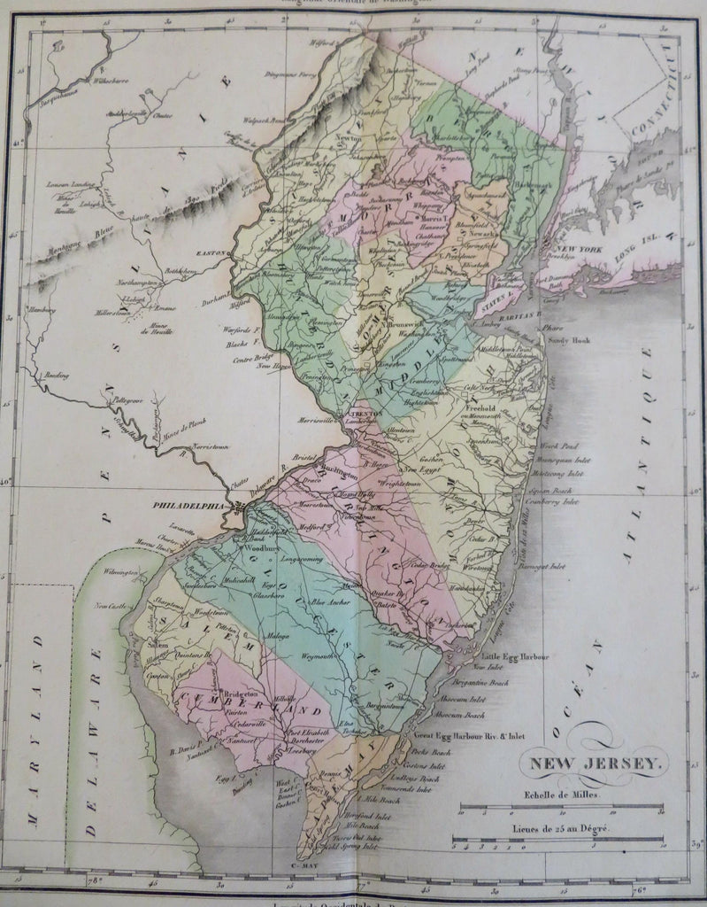
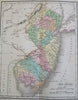
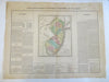
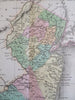
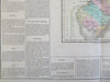
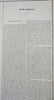
Carte Geographique, Statistique et Historique du New-Jersey.
(Old Maps, North America, United States, New Jersey, Jersey City, Hoboken, Trenton).
Issued 1825, Paris by Buchon. A French re-issue of the Carey & Lea Atlas of 1822. Printed by J. Carez.
Very fine early 19th century engraved map with lovely original hand color.
A monumental looking map, beautifully engraved, printed on very heavy paper stock.
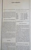
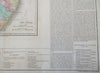
Encyclopedic information (in French language) surrounds map. Topics include topography, climate, manufacturing and commerce, government, religion, a list of governors and an historical overview of it's history.
A 2.5" paper repair on reverse to seal a short bottom center fold line split, couple minor closed edge splits, some light inconsequential damp staining in the wide blank margins.
Overall a well preserved and nice looking example with a pleasing mellow age patina.
Original center fold as issued.
Sheet Measures c. 21" H x 27" W.
Engraved Area Measures c. 11 1/4" H x 9 1/4" W.
Cartographic Reference(s):
Tooley's Dictionary of Mapmakers, vol. 1., p. 204.
[R26950-BR225].