New Orleans city plan Louisiana 1874 Mitchell hand colored nice decorative map
Brian DiMambro- Antiquarian Books, Maps & Prints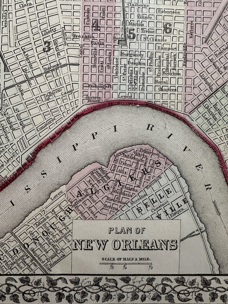
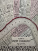
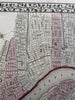
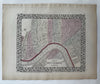
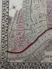
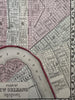
Plan of New Orleans. Louisiana.
Issued 1874 Philadelphia by S.A. Mitchell.
Excellent mid-19th century lithographed map, with original hand color. Great vegetation border with grape clusters and vines intertwined.
Attractive example, clean, pleasing age patina, any minor age flaws easy to overlook or forgive.
Sheet Measures c. 15 1/4" x 12 1/4”.
Engraved Area Measures c. 14" x 11 1/4”.
Cartographic Reference(s):
Reps, American Maps and Mapmakers, p. 313.
Tooley's Dictionary of Mapmakers, vol. 1 & vol. 4, pp. 260.
R36523