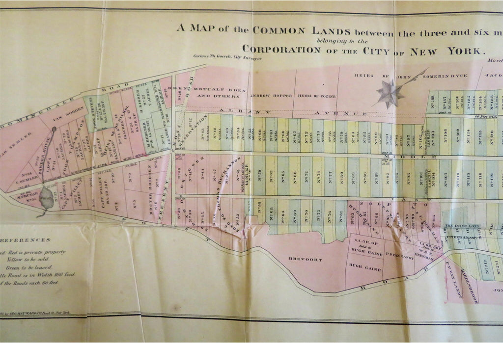
New York City Common Lands Property Owners Lower Manhattan 1861 historical map
Brian DiMambro


A Map of the Common Lands Between the Three and Six Miles Stones Belonging to the Corporation of the City of New York.
(Old Maps, 19th Century Maps, Americana, United States, New York City, Manhattan, Common Lands, Property Owners).
Issued 1861, New York by Hayward.
Mid 19th century Civil War era lithographed historical map with original hand color.
Paper is toned and somewhat fragile, some old wrinkles from misfolding, several long splits along different fold lines neatly and well closed on reverse with archival tape, remains a nice looking example with pleasing age patina despite the repairs. Map will look nice if displayed.
Original fold lines as issued.
Sheet Measures c. 8" H x 20" W.
Cartographic Reference(s):
Tooley's Dictionary of Mapmakers, vol. 2.
[B9776].
