New Zealand North & South Island Tasmania Auckland Peninsula 1876 fine large map
Brian DiMambro- Antiquarian Books, Maps & Prints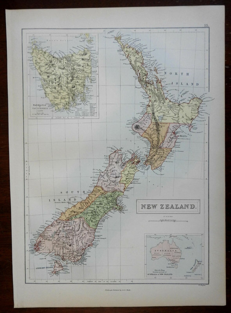
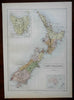
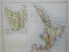
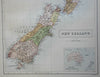
New Zealand.
(Oceania, New Zealand, North Island, South Island, Tasmania, Auckland Peninsula, Stewart Island).
Issued 1876, Edinburgh by A. & C. Black.
Finely detailed and well printed late 19th Century color lithographed map.
Well preserved, nice looking example with pleasing age patina.
Sheet Measures c. 12 1/2" H x 17 1/2" W.
Engraved Area Measures c. 10 1/4" H x 14" W.
Cartographic Reference(s):
Tooley's Dictionary of Mapmakers, vol. 1.
[R25479].