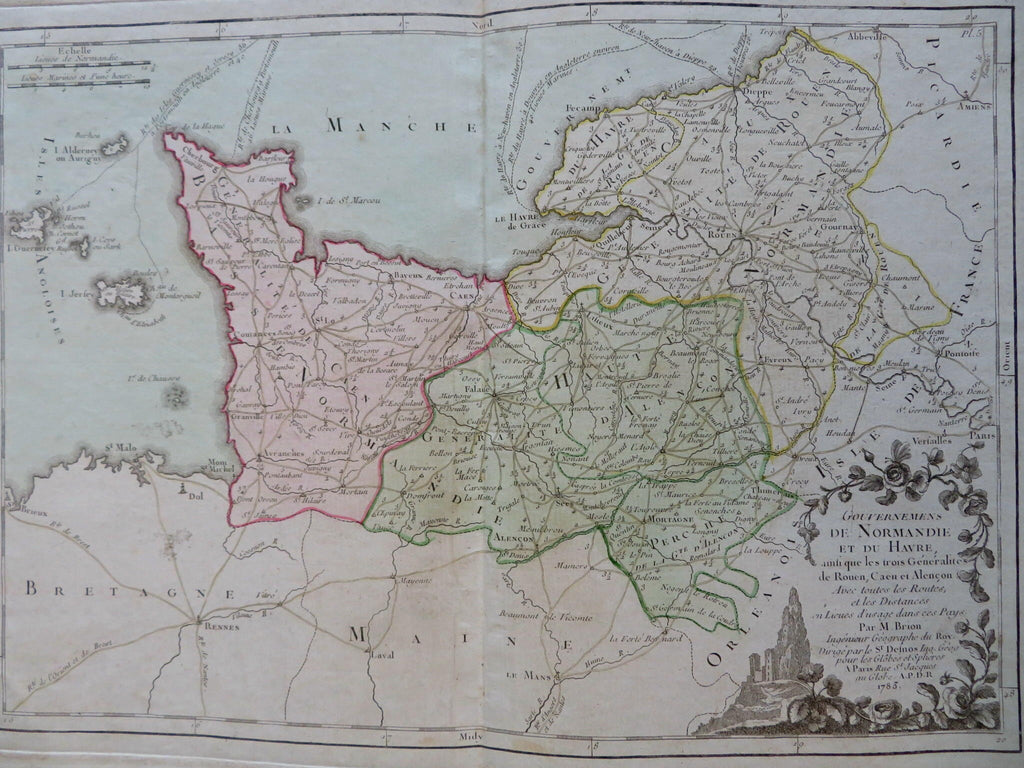
Normandy France Le Havre Caen Rouen Evreux 1783 Brion engraved map
Brian DiMambro


Gouvernements de Normandie et du Havre.
(Old Maps, 18th Century Maps, Europe, France, Normandy, Caen, Le Havre, Rouen, Evreux).
Issued 1783, Paris by Brion.
Late 18th century engraved map with original hand color. Encyclopedic text affixed on either side of map by publisher. Text in French.
Remains a nice looking example with a pleasing age patina. Any age flaws mostly minor and easy to overlook or forgive.
Original center fold as issued.
Sheet Measures c. 13 1/4" H x 20 1/4" W.
Engraved Area Measures c. 9 1/2" H x 13" W.
Cartographic Reference(s):
Tooley's Dictionary of Mapmakers, vol. 1.
[R31430].
