North America Territorial United States Utah Mormons named 1878 Drioux Leroy map
Brian DiMambro- Antiquarian Books, Maps & Prints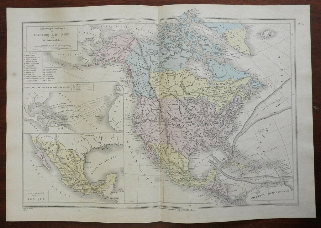
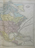
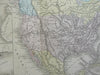
Carte Physique et Politique de L'Amerique du Nord.
(North America, United States, Canada, Mexico, Alaska, Greenland, Caribbean, Gulf Stream, Christopher Columbus, Central America, Cuba, Jamaica, Haiti, Dominican Republic, Bahamas, Puerto Rico).
Issued 1878, Paris by by Belin. Map by Drioux & Leroy. Engraved by Jenotte.
Late 19th century engraved map with original hand color.
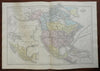
Interesting territorial configurations still seen, including a large "Mormons" within Utah. Northwest Territory of New Caledonia or English Colony named beside Hudson Bay Territory in Canada.
Remains a nice looking example with a pleasing age patina. Any age flaws mostly minor and easy to overlook or forgive.
Original center fold as issued.
Sheet Measures c. 13 1/8" H x 18 7/8" W.
Engraved Area Measures c. 11 1/2" H x 16 1/2" W.
Cartographic Reference(s):
Tooley's Dictionary of Mapmakers, vol. 1.
[R25931].