North America United States Canada Mexico Caribbean 1880 Stulpnagel detailed map
Brian DiMambro- Antiquarian Books, Maps & Prints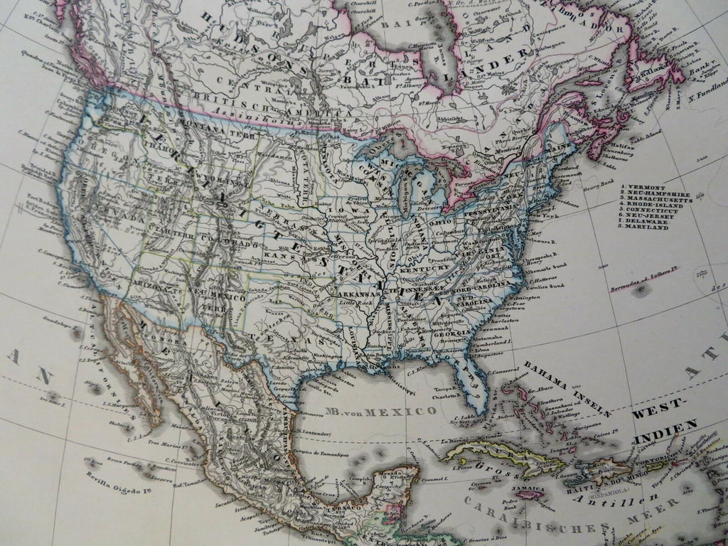
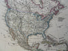
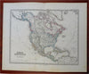
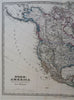
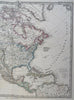
Nord-America.
(Old Maps, 19th Century Maps, North America, United States, Canada, Alaska, Mexico, Caribbean Sea).
Issued 1880 Gotha by Justus Perthes for Stieler. Map by Stulpnagel.
Nicely detailed oversize mid-19th century engraved map with original hand color.
Stieler maps went through continual revisions. Thus, for any specific Stieler map such as this one, there are often numerous variant issues with varying details. This version shows numerous states as territories.
Nice looking example, clean, pleasing age patina, any minor age flaws easy to overlook or forgive.
Sheet Measures c. 14 3/4" H x 17 1/2" W.
Cartographic Reference(s):
Tooley's Dictionary of Mapmakers, vol. 4.
[R28466].