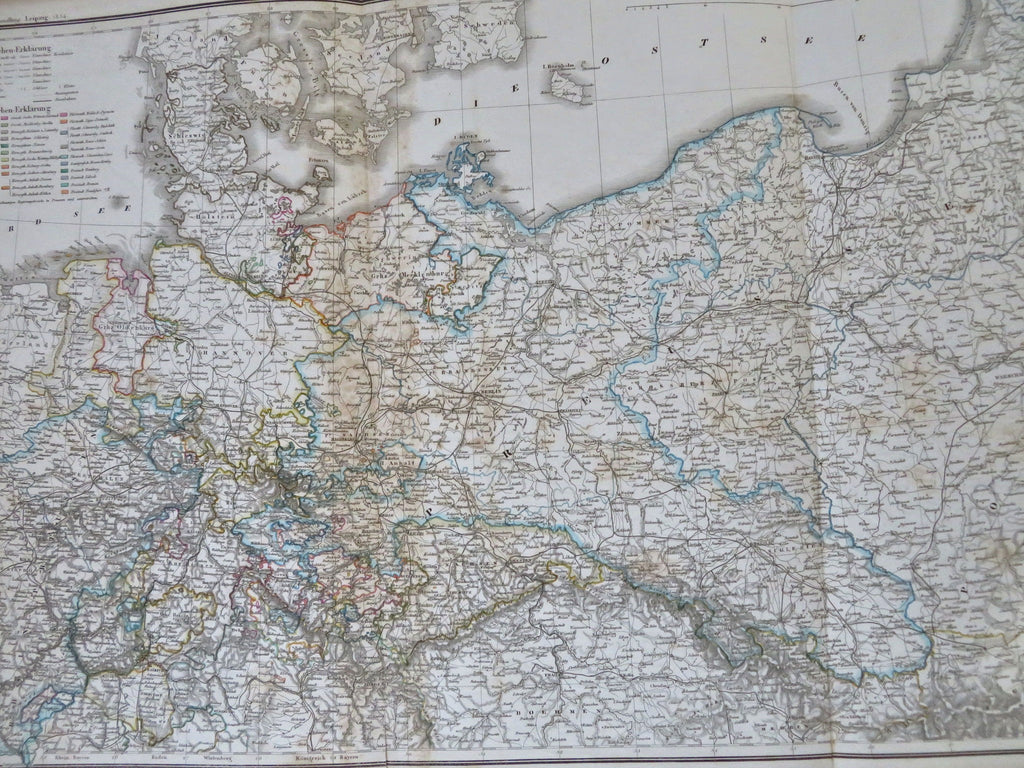
Northern Germany Prussia Hanover Rhineland Pomerania Saxony 1854 Muhlert map
Brian DiMambro


Nord und Mittel-Deutschland.
(Old Maps, 19th Century Maps, Europe, German Confederation, Germany, Prussia, Saxony, Mecklenburg, Pomerania, Saxony, Hanover, Brunswick, Rhineland).
Issued 1854,Leipzig, Germany by J.C. Hinrichs.
Large and uncommon mid 19th century antique engraved map with original hand color.
Extensive color coded key at top left lists all the Konigreichs then existing and regional political structures such as freistadts.
Well preserved, nice looking example with pleasing age patina. A 1.5" split from the bottom left fold line.
Sheet Measures c. 17" H x 26 1/2" W.
Engraved Area Measures c. 15" H x 24 3/4" W.
Cartographic Reference(s):
Tooley's Dictionary of Mapmakers, vol. 2.
[R32419].
