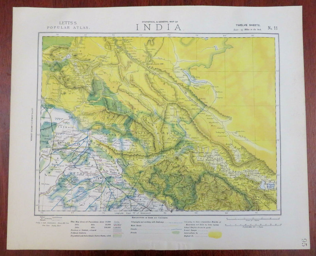
Northern India British Raj Kashmir Lahore Himalayas 1883 Letts scarce map
Brian DiMambro- Antiquarian Books, Maps & Prints


Statistical & General Map of India - No. 11.
(Asia, India, British Raj, Lahore, Himalayas, Kashmir).
Issued 1883, London by Letts.
Scarce late 19th century color lithographed map. A later re-issue of the SDUK maps originally printed some 40 years prior.
Of particular modern interest for the key, which notes unusual features such as telegraphs, bridged roads, canals, forests, categories not typically found on maps of this era or region.
Well preserved, clean, nice looking example, some minor wrinkling and a short edge archival tape repair.
Sheet Measures c. 17 1/8" H x 14" W.
Engraved Area Measures c. 15 1/4" H x 12 1/8" W.
Cartographic Reference(s):
Tooley's Dictionary of Mapmakers, vol. 3.
[R26931].
