Ottoman Empire Kingdom of Hungary Serbia Greece Albania c. 1780 hand color map
Brian DiMambro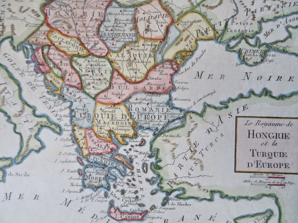
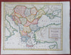
Le Royaume de Hongrie et la Turquie D'Europe.
(Old Maps, 18th Century Maps, Europe, Ottoman Empire, Kingdom of Hungary, Moldavia, Serbia, Slavonia, Bulgaria, Greece, Macedonia, Romania).
Issued c. 1770-90's, likely Paris.
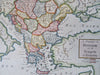
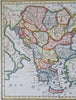
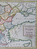
Charming little late 18th century engraved map, with very attractive hand color. A superior visual example.
Remains a nice looking example with a pleasing age patina. Any age flaws are minor and easy to overlook or forgive.
Sheet Measures c. 7 5/8" H x 10" W.
Engraved Area Measures c. 6 3/4" H x 8 3/8 "W .
Cartographic Reference(s):
Tooley's Dictionary of Mapmakers, vol..
[B12429].